The main water artery of the region - the Charysh River - originates on the Korgon ridge and rushes to the northwest to join the Ob after 547 km. Almost half of its way, the river passes through mountainous terrain, collecting right tributaries from the slopes of medium-high ridges on the western borders of Altai. The mountainous part of the river basin, together with the surrounding ridges, is also called Mountain Charysh.
Mountain Charysh is the highest part of the Altai Territory. There is the highest point, a mountain with an elevation of 2496 m above sea level in the Korgon ridge - the Shangin Lighthouse peak, in honor of the famous Russian scientist, a prominent explorer of Altai deposits.
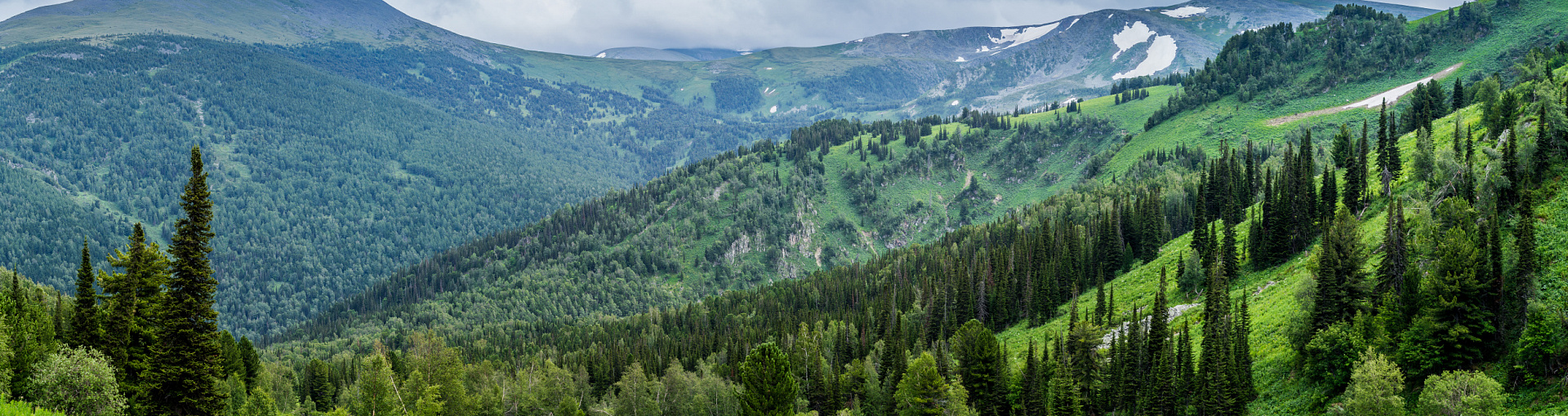
The natural diversity of these places is very great. In the southern part, steep mountain slopes are cut by deep river valleys framed by dense dark coniferous taiga and larch forests. Alpine meadows and subalpine meadows bloom here, tundra and alpine zones lie. In the upper part of the mid-mountain belt there are tracts with landscapes of snow-ice alpine highlands with small glaciers.
Mountain Charysh is one of the most inaccessible, sparsely populated and interesting tourist areas of the region.
Photo: Valery Stepanyuk
HAT TO WATCH AND WHAT TO DO
The Altai Territory is very large and diverse. The topography changes as you move through the territory. It is as if a growing bear, at first quiet and calm, then huge and majestic. So the steppes and plains grow into the foothills and the mountains.
Summer
Rafting on the Charysh, Korgon, Inya rivers. Fishing. Excursions to the reserve. Collecting mushrooms, berries.
In Autumn
Travel to the caves, excursions to the reserve. Collecting mushrooms, berries.
In winter
Ski tourism. Winter fishing.
Spring
River rafting. Excursions to the reserve.

Altai Region, Barnaul, prospect Krasnoarmeysky,16a